
This is the first of our series of Epic Circuits for Day Hiking and Trail Running in the Victorian High Country. These mega mountain circuits have been chosen for those looking for a challenging day walk, or who are wanting to take their trail running to the next level.
This route takes in some stunning scenery, including both the picturesque landscape of the Howqua River in the lowlands, and spectacular alpine vistas from on top of the Bluff. It includes some vigorous ascents and descents (for added fun!), it mostly avoids travel on vehicular tracks, and it passes some of Victoria’s iconic alpine huts.
All this and with reasonably easy access only a few hours from Melbourne, it’s well worth putting this one on your to-do list!
Bluff Hut, Alpine National Park
Important Warning on the Epic Circuits Series:
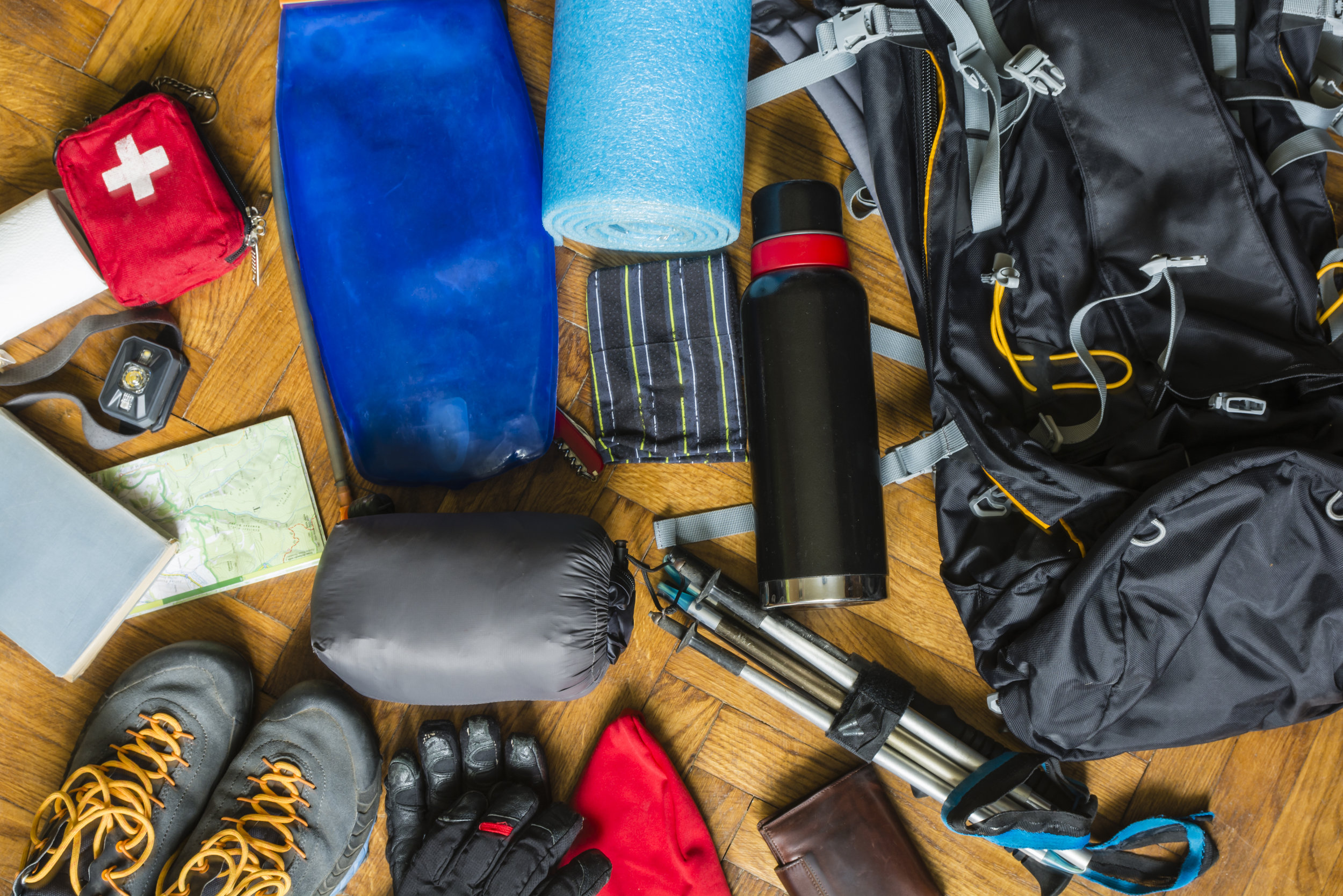
These circuits are for experts only. As well as being long, these circuits cover rugged terrain in remote environments. You need to be physically and mentally capable, as well as being experienced and competent in the outdoors, and carrying all the necessary equipment and supplies. You should know how to navigate, and will need to take heed of weather conditions.
Some parties may prefer to complete these circuits in two or three days. Although not described here, all of the circuits do provide great overnight camping options.
Route: Howqua River and The Bluff Circuit
Distance: 25km
Elevation Gain: 1,520m
Map: SV Maps Buller-Howitt Alpine Area Download GPX file

The route starts at Eight Mile Flat on the Howqua River and follows a reasonably clear track which ascends quite steeply up Eight Mile Spur before traversing Rocky Ridge and dropping into Refrigerator Gap. You then follow Bluff Track for about a kilometre before heading off on the signposted track to The Bluff, which again ascends steeply.
As the name suggests, The Bluff is something of a cliff, and it involves some moderate rock scrambling toward the top. After you come over the crags keep an eye out for a few cairns marking the trail to the summit.

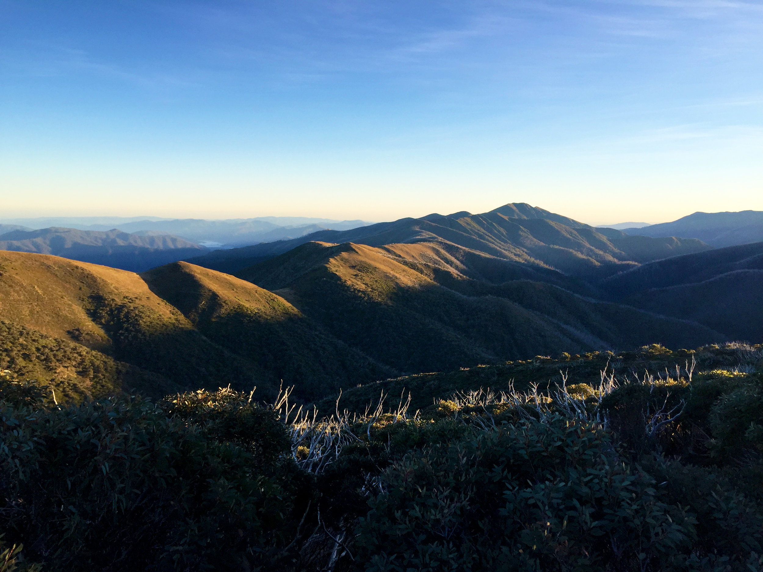
View of The Bluff from Rocky Ridge
The route then traverses on a well defined track along the escarpment, and takes in magnificent views in every direction of this section of the Alps before descending to Bluff Hut. This picturesque hut set in a saddle makes a lovely lunch stop.

View of Mount Buller and Mount Stirling from The Bluff
From here one option is to take Bluff Track a couple of kilometres down to the intersection with Bluff Link Road. If you’d prefer to avoid Bluff Track you can instead take a foot track that follows a disused vehicular track, starting on the north side of Bluff Track just across from Bluff Hut. The top section of this is badly overgrown but it leads into a well defined track. You can avoid the overgrown section by heading down Bluff Track for about 400m and taking the foot track from there.
Make sure you’ve saved some energy for the descent down Fourteen Mile Spur. This track starts on the north-west side of Bluff Link Road, at the intersection of this and Bluff Track. The track here is less distinct, and is also quite steep and rugged so can be hard on the knees.

Ritchies Hut, Alpine National Park
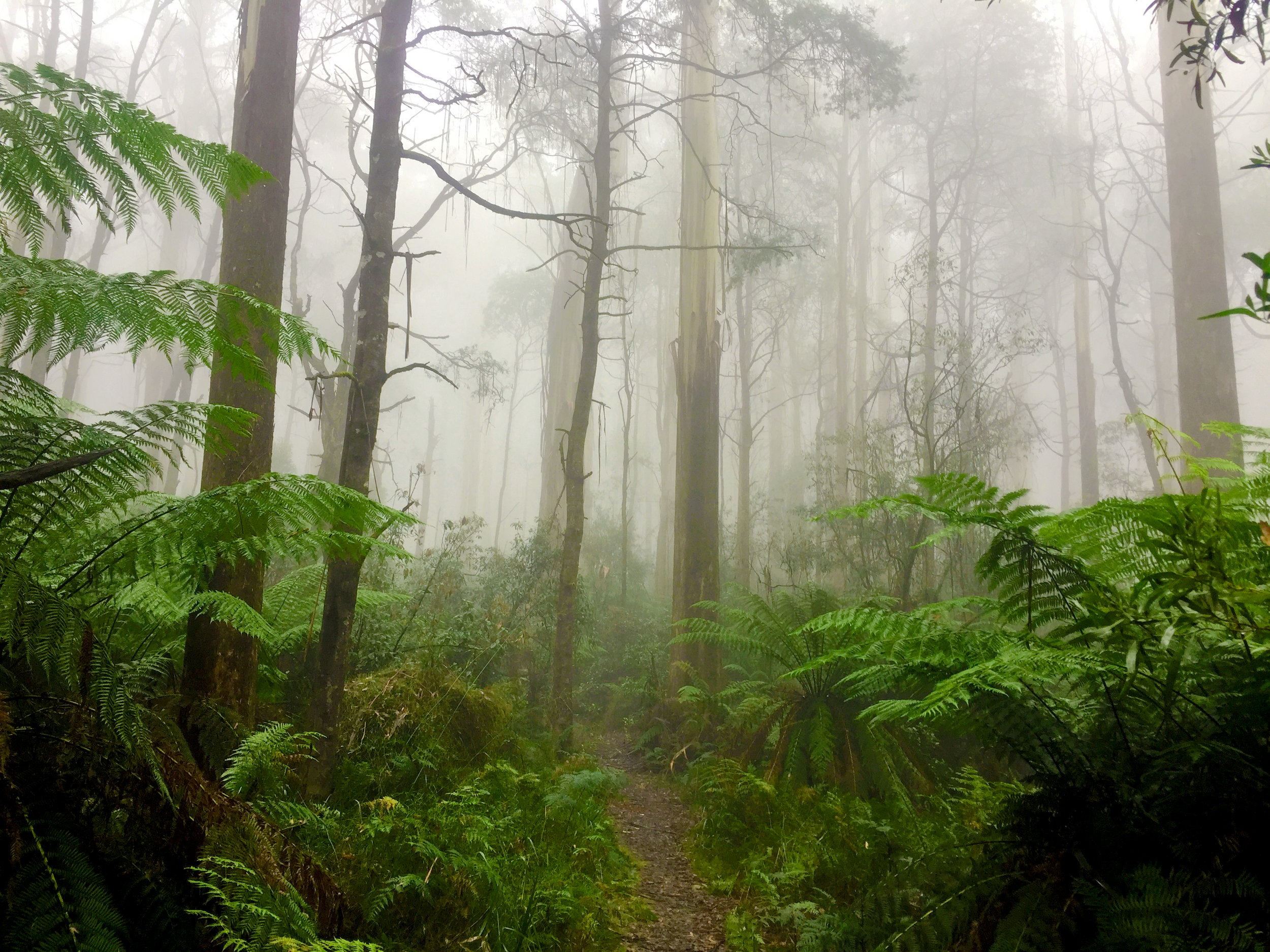
The track pops out at the iconic Ritchies Hut, the rebuild of a historic fisherman’s hut set on the Howqua River. To get back to Eight Mile Flat, cross the small creek (Fourteen Mile Creek) that is a short way down from the front of the hut. The route then meanders on an undulating track back down the river. I advise taking the signposted high track, unless you feel like finishing this circuit with a number of swims!


For the serious athlete, this ultra-tough adventure course has been inspired by the gruelling SAS Selection and is designed to test your mettle.
Click here for details.