
This is the third in our series of Epic Circuits for Day Hiking and Trail Running in the Victorian High Country. These mega mountain circuits have been chosen for those looking for a challenging day walk, or who are wanting to take their trail running to the next level.
This 52 kilometre monster in the Alpine National Park will have you clocking up over 2,000 metres of elevation gain as you follow steep trails in and out of rugged valleys, pass beautiful high country huts, ford mountain rivers, and take in spectacular views from atop of Victoria’s highest mountain.
Access to the trail head is relatively easy and only a short distance past the Falls Creek resort on the Bogong High Plains Road, but keep in mind that this road is closed beyond Falls Creek during the winter months. The route itself includes a good mix of tough foot trails and easier vehicle tracks.
Beware that much of this route is very exposed and, particularly on and around Mount Bogong, emergency access can be quite limited. The route should not be attempted in adverse weather conditions.
Important Warning on the Epic Circuits Series:
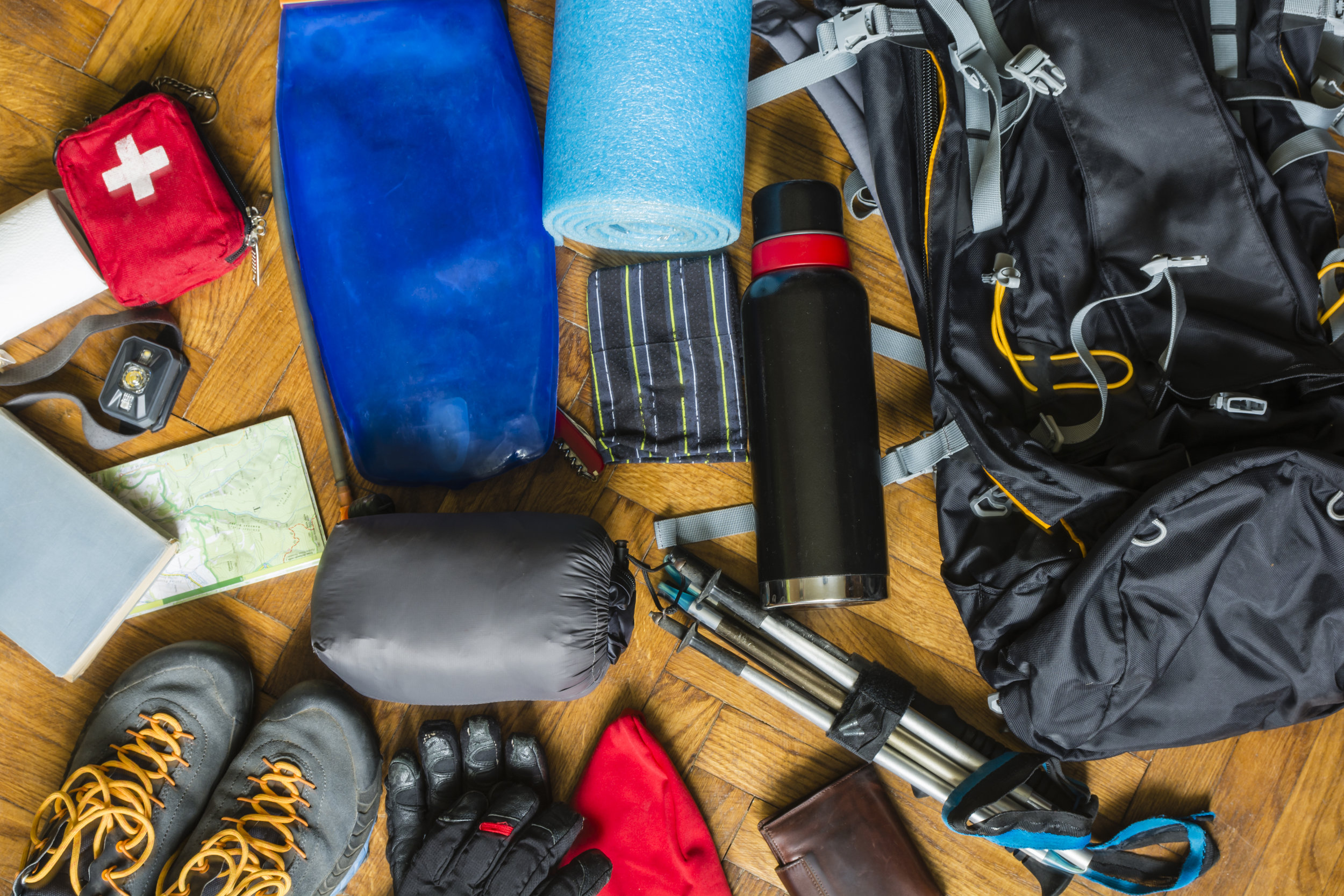
These circuits are for experts only. As well as being long, these circuits cover rugged terrain in remote environments. You need to be physically and mentally capable, as well as being experienced and competent in the outdoors, and carrying all the necessary equipment and supplies. You should know how to navigate, and will need to take heed of weather conditions.
Some parties may prefer to complete these circuits in two or three days. Although not described here, all of the circuits do provide great overnight camping options.
Route: The Falls Creek to Mount Bogong Loop
Distance: 52km
Elevation Gain: 2,350m
Map: SV Maps Bogong Alpine Area Download GPX file

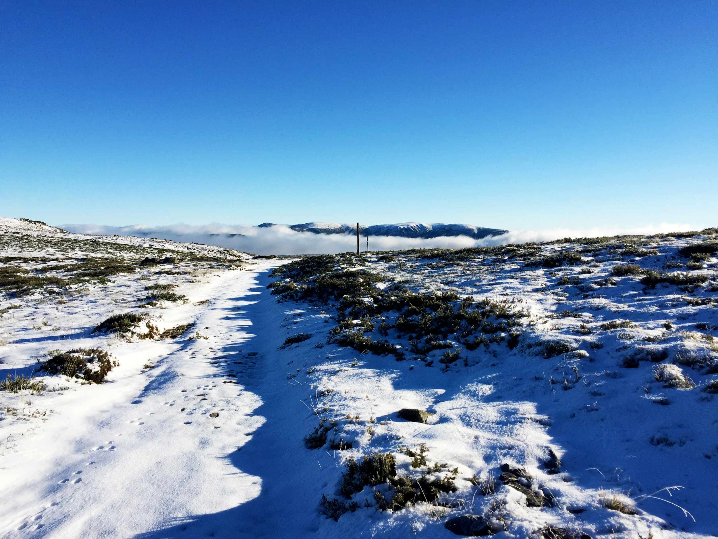
The route starts at the Watchbed Creek Trackhead, which is near the Rocky Valley Storage at the intersection of Big River Track and Bogong High Plains Road. The track climbs gently alongside Watchbed Creek for a couple of kilometres before crossing the treeline and heading north toward Mount Nelse. It’s relatively easy going along this track, although it can be a bit stoney so be careful of your ankles.
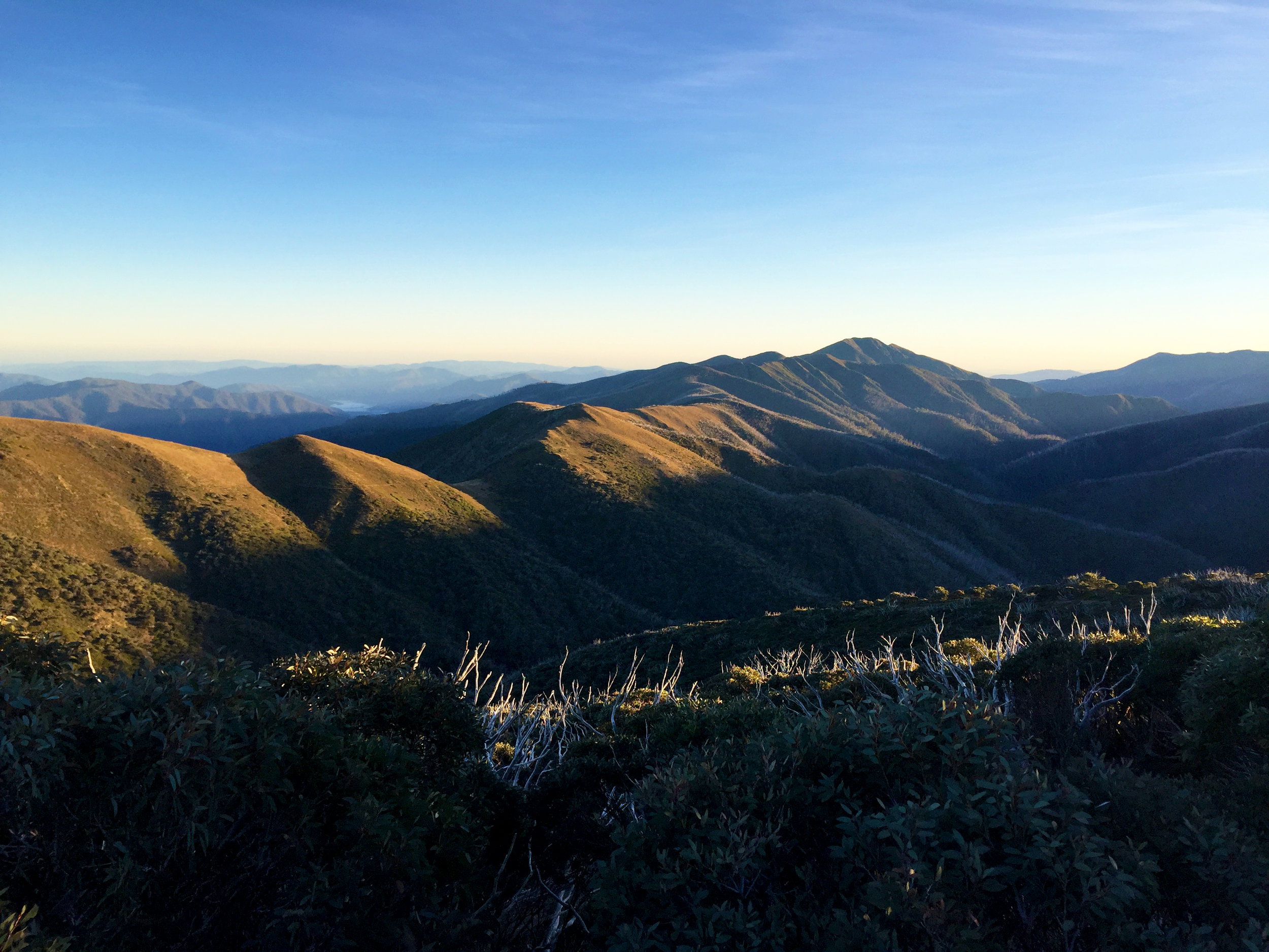
Views of Mount Bogong from near Mount Nelse
After about 7 kilometres you reach Warby Corner, which is at the intersection of Big River Fire Track and Spion Kopje Track. You then descend slightly for the next 2 kilometres before you leave the vehicle track and follow a foot trail which drops back below the treeline to reach Roper Hut, a picturesque hut nestled in the trees at the head of Duane Spur. From here Duane Spur descends, quite steeply in parts, dropping more than 800m over roughly 4 kilometres to reach Big River.

Roper Hut
The crossing at Big River is aided by a chain spanning the waterway. The river here can be subject to flooding following heavy rain and snowmelt in the region and is not always safe to cross, so check the depth and speed of the water before stepping in and be prepared to turn back if necessary.

Big River crossing at the base of Duane and T Spurs.
Once you’ve crossed Big River, the route climbs steeply up T Spur, gaining more than 700m over 4.5 kilometres before reaching an intersection at which it departs from the Australian Alps Walking Track and heads in a westerly direction toward Cleve Cole Memorial Hut. From this intersection it is another 2 kilometres to reach the hut. The hut is well constructed and well appointed, and provides a great refuge in inclement weather. After this point the route becomes very exposed as it climbs back above the treeline to traverse the Bogong massif.

Cleve Cole Memorial Hut
It’s about 4 kilometres to the Mount Bogong summit from Cleve Cole Hut. From the summit on a clear day you can enjoy 360 degree views of the surrounding ranges and valleys, including a satisfying view of your origins near Mount Nelse in the south.
The route then continues west past the summit, dropping down into a saddle before skirting around the Hooker Plateau and descending to Quartz Knob. The trail here can be indistinct and a little difficult to pick, especially when visibility is poor, so keep your wits about you make sure you don’t start heading off in the wrong direction. The route then descends, again quite steeply, down Quartz Ridge. You drop more than 800m over the 6.5 kilometres from Mount Bogong Summit to the base of Quartz Ridge.

Mount Bogong with an early snow cover - snowfalls like this can occur at any time of year
Near the base of Quartz Ridge you reach an intersection where a side trail leads eastward towards Cairn Creek Hut. Instead, turn right at this intersection and travel northwest to reach the Big River Fire Track. At this point turn left (south) and continue along the track for about 1.5 kilometres to reach another crossing of Big River. This crossing is not as treacherous as the previous one downstream, but take care nonetheless.
From Big River the fire track ascends steadily up Timms Spur for around 7 kilometres before levelling off a bit for a final 3 kilometres back to the intersection with the foot trail to Roper Hut. The final 9 kilometres is a reverse of the initial part of the route, first climbing about 2 kilometres to reach Warby Corner before starting the descent back to the Watchbed Creek Trackhead.
This is certainly an epic circuit and it definitely stretches the limits of what can be achieved in a day walking, in terms of distance and elevation gain, as well as the terrain. But the rewards are proportionate to the challenges it provides. Experienced, competent and well prepared parties will enjoy the beauty of this spectacular landscape as well as the satisfaction of achievement.


For the serious athlete, this ultra-tough adventure course has been inspired by the gruelling SAS Selection and is designed to test your mettle.
Click here for details.